Geography

coral reefs

Complete Guide to Coral Reefs: Types, Formation & Threats

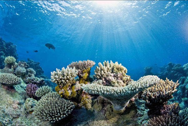
Coral reefs are marine ecosystems formed by colonies of coral polyps held together by calcium carbonate. These biodiversity hotspots support over 4,000 fish species and 800 hard coral species, earning them the nickname “Rainforests of the Sea.” Coral reefs require warm water temperatures (70-85°F), clear shallow waters, and adequate sunlight for their symbiotic algae called zooxanthellae to perform photosynthesis.

Complete Guide to Coral Reefs: Types, Formation & Threats Read More »

Geography

Islands: Types, Examples & Importance – Continental & Oceanic Guide

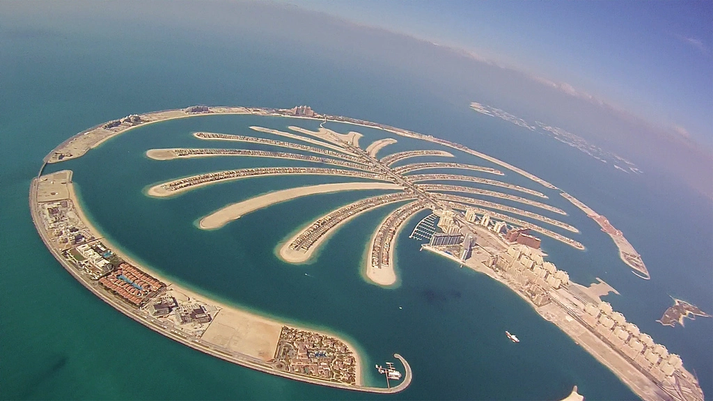
Island Summary: An island is a land mass completely surrounded by water. Geographers classify islands as continental, which were once attached to continents and include types such as individual islands (e.g., Newfoundland and Madagascar), archipelagos, and island arcs, and oceanic, formed away from land and further divided into volcanic (Hawaii, Galápagos, Azores) and coral islands

Islands: Types, Examples & Importance – Continental & Oceanic Guide Read More »

Geography

Types of Mountains: Formation, Classification & Examples

Mountains are elevated landforms created through various geological processes over millions of years. There are four primary types of mountains based on their formation: fold mountains (formed by tectonic plate collision), block mountains (created by faulting), volcanic mountains (built from accumulated volcanic material), and residual mountains (formed through erosion). The most recent mountain-building episode, the Alpine orogeny, began 30 million years ago and created today’s highest peaks including the Himalayas, Alps, Andes, and Rockies.

Types of Mountains: Formation, Classification & Examples Read More »

Tsunami

What Causes a Tsunami? Complete Guide to Tsunami Formation, Warning Systems & Protection

Tsunami Tsunamis are primarily caused by underwater earthquakes that displace large volumes of seawater. Other causes include submarine landslides, volcanic eruptions, and rare meteorite impacts. For an earthquake to generate a tsunami, it must occur beneath or near the ocean, have considerable magnitude (typically 6.5 or higher on the Richter scale), and cause significant seafloor

What Causes a Tsunami? Complete Guide to Tsunami Formation, Warning Systems & Protection Read More »

Geography

Complete Guide to Earthquakes: Types, Causes & Effects 2025

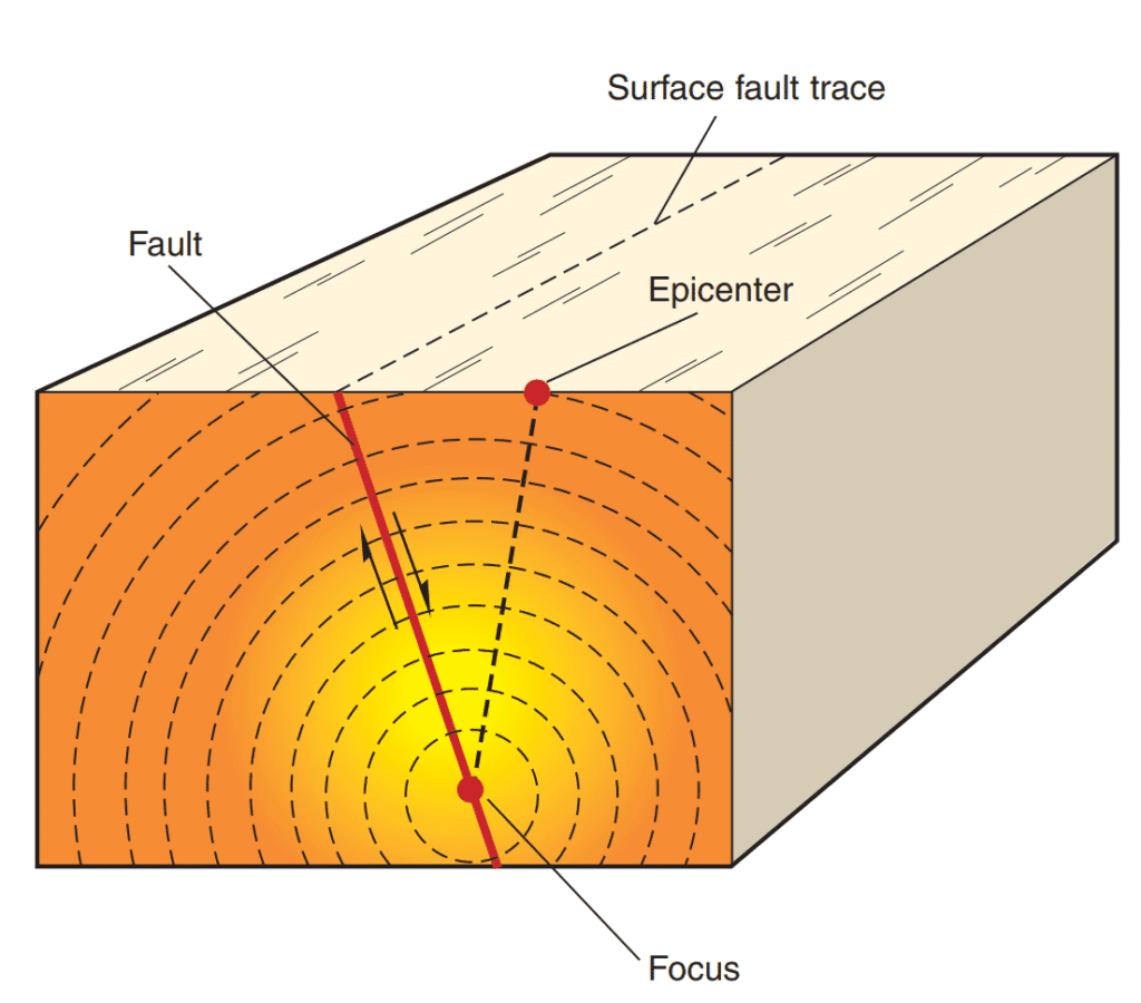
Earthquakes are sudden releases of energy from Earth’s crust that create seismic waves, typically occurring along fault lines. These geological events are classified into five main types: tectonic, volcanic, collapse, explosion, and reservoir-induced earthquakes. Understanding earthquake mechanics, measurement scales (Richter and Mercalli), and global distribution patterns is essential for comprehending their impact on human society and infrastructure. This comprehensive guide explores earthquake science, from crustal dynamics to safety preparedness.

Complete Guide to Earthquakes: Types, Causes & Effects 2025 Read More »

Plate Tectonic Processes

The Theory of Plate Tectonics

The theory of plate tectonics explains how Earth’s outer shell is divided into large, moving pieces called lithospheric plates. These rigid plates float on the partially molten mantle beneath them, constantly moving at rates of 2-15 cm per year. The theory, developed in the 1960s by McKenzie, Parker, and Morgan, describes how new oceanic crust forms at mid-ocean ridges while old crust is destroyed at subduction zones, creating earthquakes, volcanoes, and mountain ranges.

The Theory of Plate Tectonics Read More »

Sea Floor Sprending

What is Sea Floor Spreading? Complete Guide to Plate Tectonics Theory

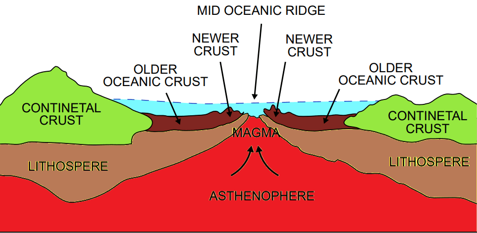
Sea floor spreading is a geological process where new oceanic crust forms at mid-ocean ridges as tectonic plates move apart. Proposed by Harry Hess in 1962, this theory explains how magma from the Earth’s mantle rises through fissures in the oceanic crust, solidifies into basalt, and creates new seafloor that gradually pushes continents apart. This process provided the crucial mechanism that was missing from Alfred Wegener’s continental drift hypothesis.

What is Sea Floor Spreading? Complete Guide to Plate Tectonics Theory Read More »

coral reefs

प्रवाल भित्ति क्या है? प्रकार, वितरण और महत्व

प्रवाल भित्ति समुद्री प्रवाल कीटों द्वारा निर्मित कैल्शियम कार्बोनेट संरचनाएं हैं जो 25°N से 25°S अक्षांशों के बीच उष्णकटिबंधीय सागरों में पाई जाती हैं। ये तीन मुख्य प्रकारों में विभाजित हैं: तटीय प्रवाल भित्ति, अवरोधक प्रवाल भित्ति और एटॉल। इनके विकास के लिए 20-30°C तापमान, उचित लवणता (27-30‰) और स्वच्छ जल आवश्यक है।

प्रवाल भित्ति क्या है? प्रकार, वितरण और महत्व Read More »

Spring Tide

ज्वार-भाटा (Tides-Ebb)

महासागर एवं समुद्रों का जल स्थिर नहीं होता, बल्कि इसमें विविध प्रकार की गतियाँ निरंतर संचालित रहती हैं, जिनमें ज्वार-भाटा, तरंगें एवं धाराएँ विशेष रूप से महत्वपूर्ण हैं। चंद्रमा तथा सूर्य के गुरुत्वीय आकर्षण के परिणामस्वरूप समुद्र जल के बारंबार उठने और गिरने की प्रक्रिया को ‘ज्वार-भाटा’ कहा जाता है। जब चंद्रमा अथवा सूर्य या

ज्वार-भाटा (Tides-Ebb) Read More »

महासागरीय धाराएँ (Ocean Currents)

महासागरीय धाराएँ (Ocean Currents)

ज्वार-भाटा और तरंगों की भांति जलधाराओं से भी महासागरीय जल निरंतर गतिशील होता है। स्थलीय नदियों की भांति महासागरों की विशाल जलराशि का निश्चित दिशा एवं गति से प्रवाहित होना, जलधारा कहलाता है, जिसके द्वारा जल, ऊष्मा, लवणता एवं जीव-जन्तुओं का प्रवाह एक क्षेत्र से दूसरे क्षेत्र में होता है। तरंगों एवं ज्वारों से समुद्री

महासागरीय धाराएँ (Ocean Currents) Read More »

महासागरीय जल का तापमान(Temperature of Oceanic Water)

महासागरीय जल का तापमान(Temperature of Oceanic Water)

महासागरीय जल का तापमान(Temperature of Oceanic Water) स्थलमंडलीय क्षेत्रों की तरह महासागरीय जल की ऊष्मा का भी मुख्य स्रोत सूर्य ही है। जिस प्रकार पृथ्वी पर स्थित अन्य तत्वों को ऊर्जा सूर्य से प्राप्त होती है, उसी प्रकार महासागरों का ताप भी सौर विकिरण से ही प्राप्त होता है। सौर ऊर्जा के प्रभाव से समुद्री

महासागरीय जल का तापमान(Temperature of Oceanic Water) Read More »

Nal Sarovar Bird Sanctuary, Gujarat

Nal Sarovar Bird Sanctuary, Gujarat: India’s Premier Wetland Haven

Introduction: Nal Sarovar – Gujarat’s Avian Jewel Nestled within the vibrant landscape of Gujarat, India, lies a natural wonder of immense ecological significance: the Nal Sarovar Bird Sanctuary. This sprawling sanctuary, centered around a vast natural freshwater lake, stands as a testament to the intricate beauty of wetland ecosystems and serves as a crucial refuge

Nal Sarovar Bird Sanctuary, Gujarat: India’s Premier Wetland Haven Read More »

Yosemite National Park

Yosemite National Park Complete Guide 2025 – Geography, History & Wildlife

Yosemite National Park is a UNESCO World Heritage Site covering 1,189 square miles in California’s Sierra Nevada mountains, established in 1890. Famous for glacially-carved granite formations like El Capitan (world’s largest exposed granite monolith) and Half Dome, plus North America’s tallest waterfall (Yosemite Falls at 2,425 feet). The park showcases exceptional glaciated landscape with U-shaped

Yosemite National Park Complete Guide 2025 – Geography, History & Wildlife Read More »

Zion National Park

Zion National Park

Zion National Park What is Zion National Park? Zion National Park, a sanctuary carved by the relentless power of water and time, stands as Utah’s inaugural national park.1 Renowned globally for its colossal sandstone cliffs, painted in hues of cream, pink, and red, and its intricate network of narrow slot canyons sculpted by the lifeblood

Zion National Park Read More »

विश्व की प्रमुख स्थानीय पवनें(Local Winds)

विश्व की प्रमुख स्थानीय पवनें कौन सी हैं? सीमित क्षेत्रीय प्रवाह के भीतर महत्वपूर्ण स्थानीय कारकों के परिणामस्वरूप उत्पन्न होने वाली वायु धाराओं को ‘स्थानीय पवन’ की संज्ञा प्रदान की जाती है। इनका उद्भव मुख्यतः स्थानीय तापमान द्वारा उत्पन्न वायुदाब प्रवणता के कारण होता है। प्रत्येक स्थानीय पवन की अपनी विशिष्ट विशेषताएँ होती हैं तथा

विश्व की प्रमुख स्थानीय पवनें(Local Winds) Read More »

Jim Corbett National Park

Jim Corbett National Park

Introduction Nestled in the foothills of the Himalayas in the state of Uttarakhand, Jim Corbett National Park stands as a monumental testament to India’s commitment to wildlife conservation.1 Established in 1936, it holds the distinction of being India’s oldest national park, a pioneering effort that predated the nation’s independence.1 Its significance extends beyond mere chronology;

Jim Corbett National Park Read More »

Geography

कुहरा (FOG) क्या है?

कुहरे का उद्भव वायुमंडलीय जलवाष्प से निर्मित एक विशिष्ट प्रकार के वाताग्र के रूप में होता है, जो पृथ्वी के धरातल के अत्यंत समीप अवस्थित रहता है। जब धरातल के निकट स्थित वायुमंडलीय वायु का तापमान घटकर शीतल हो जाता है, तब उसमें उपस्थित जलकण वायुमंडल की पारदर्शिता अथवा दृश्यता को प्रभावित करते हैं, और

कुहरा (FOG) क्या है? Read More »

तापीय प्रतिलोमन

तापीय प्रतिलोमन (Temperature Inversion) से आप क्या समझते हैं?

तापीय प्रतिलोमन (Temperature Inversion) सामान्य परिस्थितियों में, वायुमंडल में ऊँचाई में वृद्धि के साथ तापमान में गिरावट देखी जाती है। तथापि, जब यह स्थापित प्रवृत्ति विपरीत दिशा में कार्य करने लगती है—अर्थात् ऊँचाई के साथ तापमान घटने के स्थान पर उसमें वृद्धि होने लगती है—तब इस असामान्य स्थिति को तापीय प्रतिलोमन अथवा विलोम्यता के रूप

तापीय प्रतिलोमन (Temperature Inversion) से आप क्या समझते हैं? Read More »

Geography

बादल किसे कहते है ?

बादलों का निर्माण एवं संरचना पृथ्वी की सतह से विभिन्न ऊँचाइयों पर वायुमंडलीय क्षेत्र में जलवाष्प के संघनन द्वारा निर्मित हिम कणों अथवा जल सीकरों के समूह को ‘बादल (मेघ)’ कहा जाता है। ये बादल दरअसल जलवाष्प से उत्पन्न अत्यंत सूक्ष्म, द्रवित कण होते हैं, जो वायुमंडल में स्थिर रहते हैं। इन सूक्ष्म जल और

बादल किसे कहते है ? Read More »

Geography

Continental Drift

Abraham Ortelius, a Dutch cartographer, is credited as the earliest individual to propose that North and South America, along with Europe and Africa, were once united as a single landmass, dating back to the year 1596. Later in 1858, Antonio Snider produced a map portraying the three continents in a connected formation; however, this depiction

Continental Drift Read More »

भारत में मानसून (seasons) से आप क्या समझते हैं?

भारत में मानसून (seasons) से आप क्या समझते हैं?

भारत के मध्य से कर्क रेखा के गुजरने के कारण इसके दक्षिणी भाग की जलवायु मुख्यतः उष्णकटिबंधीय मानी जाती है। इसके विपरीत, वृहद हिमालय श्रृंखला उत्तरी दिशा से आने वाली ठंडी ध्रुवीय हवाओं को प्रभावशाली रूप से अवरुद्ध करती है, जिससे भारत का उत्तरी क्षेत्र, समान अक्षांशीय स्थिति वाले अन्य देशों की तुलना में शीत

भारत में मानसून (seasons) से आप क्या समझते हैं? Read More »

Scroll to Top