Eco-Friendly Technologies for Better Soil Health and Conservation

Eco-Friendly Technologies for Better Soil Health and Conservation

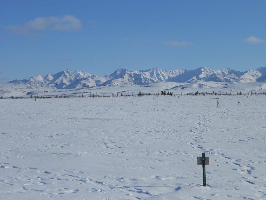
Deterioration of Land Quality: The United Nations celebrated 2015 as the ‘World Soil Year’ and designated 2015-2024 as the ‘International Decade of Soils.’ India, with the 10th largest cultivable land resource globally, hosts 46 out of 60 soil types found worldwide. National and international agencies predict a future decline in cultivable land and soil fertility

Eco-Friendly Technologies for Better Soil Health and Conservation Read More »

Litho Map Of Aravalli-Bundelkhand

Aravalli Craton | Aravalli Supergroup | aravalli craton stratigraphy

Aravalli Craton What areas does the Aravalli Craton cover? The Aravalli Craton covers over one lakh(100000) sq. km, including the entire state of Rajasthan, parts of Gujarat, Madhya Pradesh, and fringes of Delhi and Haryana. What are the main components of the composite Aravalli Craton? The composite Aravalli Craton consists of the Mewar Craton in

Aravalli Craton | Aravalli Supergroup | aravalli craton stratigraphy Read More »

d geological map of the Singhbhum Craton, NE India, showing its main lithounits and tectonic margins. Abbreviations: OMG—Older Metamorphic Group. OMTG—Older Metamorphic Tonalite Group. Singhbhum Granite Complex—SBG with SBG-I, SBG-II SBGIII. IOG—Iron Ore Group. UGG—Undifferentiated Granite Gneiss. NSO—Northern Singhbhum Orogen. CGGC—Chotanagpur Granite Gneiss Complex.

The Singhbhum Craton stratigraphy | Singhbhum Craton | location| Map

Introduction of Singhbhum Craton? Singhbhum Craton covers a triangular area of 50,000 sq. km and consists of a core (8,000 sq. km) of Singhbhum granite, rimmed by supracrustals of varied character and age. It covers Jharkhand, Odisha, and adjoining areas in the eastern part of the Indian Shield. Location and Boundaries of Singhbhum Craton The

The Singhbhum Craton stratigraphy | Singhbhum Craton | location| Map Read More »

Scroll to Top